
About Lake Sunapee and its Watershed
The Lake Sunapee Watershed includes all of the land surface that drains into Lake Sunapee. All told, the watershed area is spread throughout six towns - Newbury, Springfield, Sunapee, New London, Sutton and Goshen and is approximately 47 square miles. It includes 13 lakes and ponds with Lake Sunapee being the largest and Murray Pond the smallest.
Everything is Connected
The Lake Sunapee Watershed is part of the larger Sugar River Watershed, which is part of the much larger Connecticut River Watershed. That means Sunapee waters eventually flow into Long Island Sound.
Visit the links below to learn more about the lakes and ponds in the watershed:
Baptist Pond
Fast Facts about Lake Sunapee:
It is the fifth largest lake located in New Hampshire covering about 4,155 acres in area (1,681 hectares)
Is approximately 8.1 miles (13.0 km) long (north-south) and from 0.5 to 2.5 miles (0.8 to 4.0 km) wide (east-west), covering 6.5 square miles (17 sq. km)
Has a maximum depth of 112 feet (34.1 m)
Contains 11 islands - Loon Island, Elizabeth Island, Twin Islands (2), Great Island, Minute Island, Little Island, Star Island, Emerald (Burkehaven) Island, Isle of Pines and Penny Island
Contains three lighthouses which are maintained by LSPA
Has a 25-mile (40km) driving distance around the lake with many miles of lake water view
Is 1,093 feet (333 m) above sea level
Has an outlet in Sunapee Harbor, the headway for the Sugar River, which flows west through Newport and Claremont to the Connecticut River and then to the Atlantic Ocean
Click here to see the Lake Information Mapper from NHDES for additional information about Lake Sunapee.
Boat Ramps
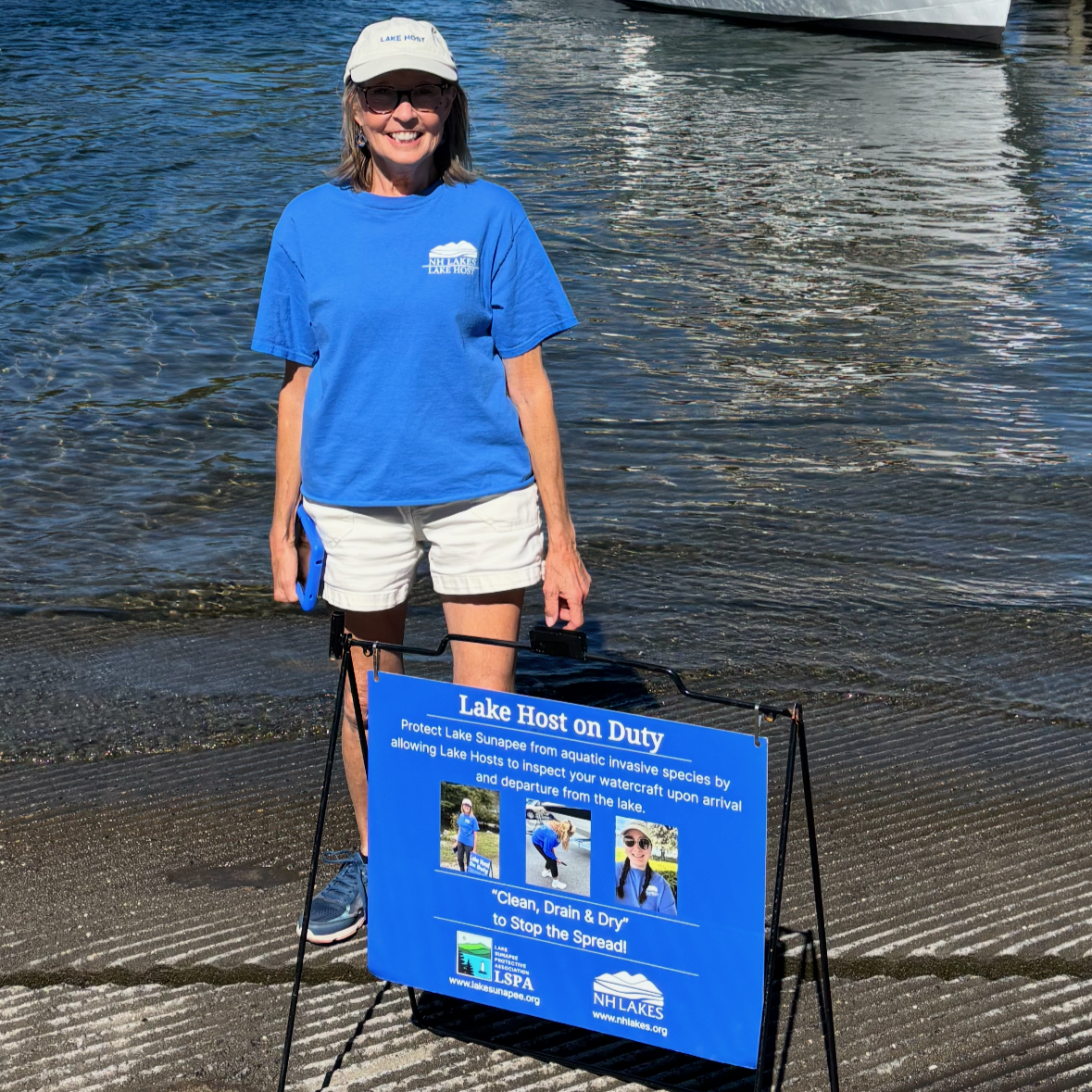
There are four public boat ramps on Lake Sunapee and one private ramp open to the public to access the lake at Sunapee Harbor, Georges Mills, Mount Sunapee State Park (State Beach), Blodgett Landing and Burkehaven. These ramps are staffed May through September with Lake Hosts who perform courtesy boat inspections looking for and removing any aquatic invasive species (AIS). Click here for a map of public ramps staffed by Lake Hosts.
Sunapee Harbor Dam
The Lake Sunapee Watershed serves as the headway for the Sugar River beginning downstream of the dam. The NH Department of Environmental Services (NHDES) Dam Bureau maintains the Sunapee Harbor outlet dam which is used for flood control. Lake level, air temperature and precipitation is measured at the outlet. Click here to view the data. The Dam Bureau opens the gates of the dam in early October to lower the Lake's water level a few feet. Full draw down is usually reached by February or March to make room for spring runoff. Contact NH DES Dam Bureau at 603-271-3406, with any concerns
